Use promo code ENDOFSUMMER25 to redeem your 25% discount

TIDES & WEATHER
TIDES
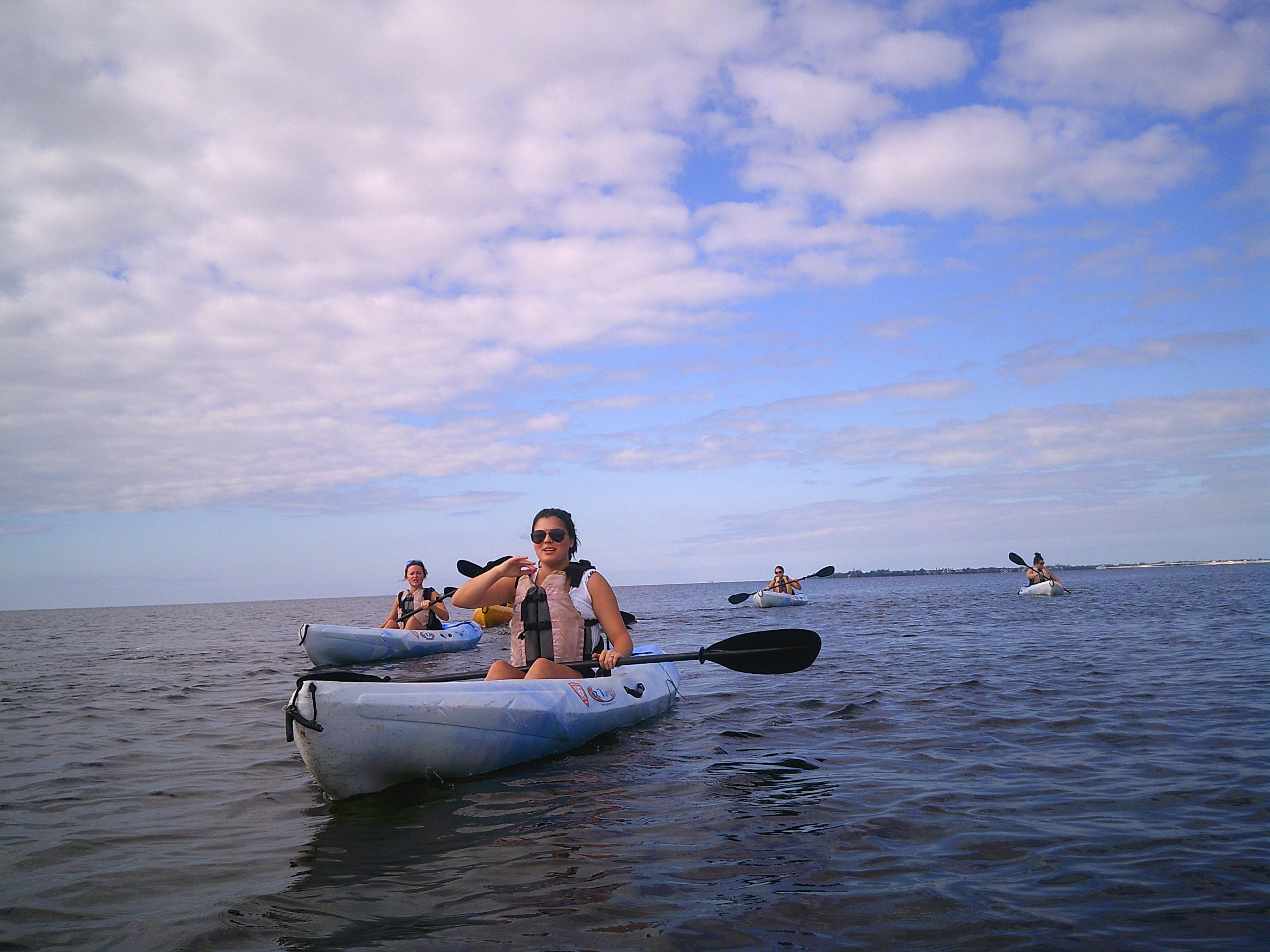
WEATHER
Our weather can generally be split into two categories: Dry Season (Winter) and Rainy Season (Summer). When exactly the change between the seasons occurs can vary, but generally, the Dry Season is November-April, while the Rainy Season is May-October.
During the Dry Season, it rarely rains. Most rain comes with cold fronts. As these cold fronts move through our area, we generally get some rain, the wind turns northerly, and the temperatures drop. Usually, conditions normalize within 2-3 days. On cooler days, many prefer to paddle in the late morning or afternoon, as air temperatures can be as low as 40 degrees at 9 AM. Average temperatures are mid 70s during the day and low 60s at night.
During the Rainy Season, it rains and thunders almost every afternoon, though oftentimes storms are very localized and affect different areas. The forecast will usually show an 80% chance of rain everyday. Temperatures average in the lower 90s during the day and the upper 70s at night. During the Rainy Season, we recommend planning trips in the morning, as it tends to be cooler and rain/storm chances are generally lower. That doesn’t mean you shouldn’t go out in the afternoon; you just need to be a little more aware of the weather.
The main things to consider when planning your trip are inclement weather (rain, thunderstorms), strong winds (over 15 MPH), and temperature. If you’re looking at the best time to go on a particular day, we suggest taking temperatures, tides, and inclement weather into consideration. If you’re unsure, we are happy to answer any questions, and to assist in picking the best day and time for your adventure!

 by
by
